Official nautical charts
Official ENC data, soundings, channels, hazards, wrecks, lighthouses and navigational aids.

Official nautical charts, real-time weather, intelligent routing and essential marine navigation tools — all in one beautifully designed app.

Precision in every mile.Designed for people who truly navigate.
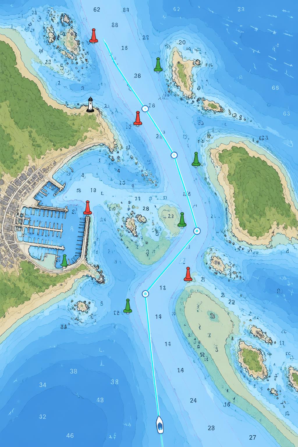
LIVE NAVIGATION
Explore navigation exactly as it should be: contextual, fluid and under your control.
ESSENTIAL TOOLS
Official ENC data, soundings, channels, hazards, wrecks, lighthouses and navigational aids.
Planning that considers draft, depth, restrictions, waypoints and weather conditions.
SOG, COG, heading and North Up or Course Up orientation with immediate, precise readings.
Wind, precipitation, barometric pressure, waves and tides in the same context.
Visual differentiation of shallow waters, draft alerts and bathymetric contours.
Download entire regions and navigate independently, even far from cellular coverage.
Recorded routes, statistics, history, distance, bearing and DMS or DD coordinates.
BUILT DIFFERENTLY
No legacy interfaces. No switching between five apps. Just the right information, at the right time.
“MARIS brings together the tools boaters normally need across multiple apps into one navigation experience.”
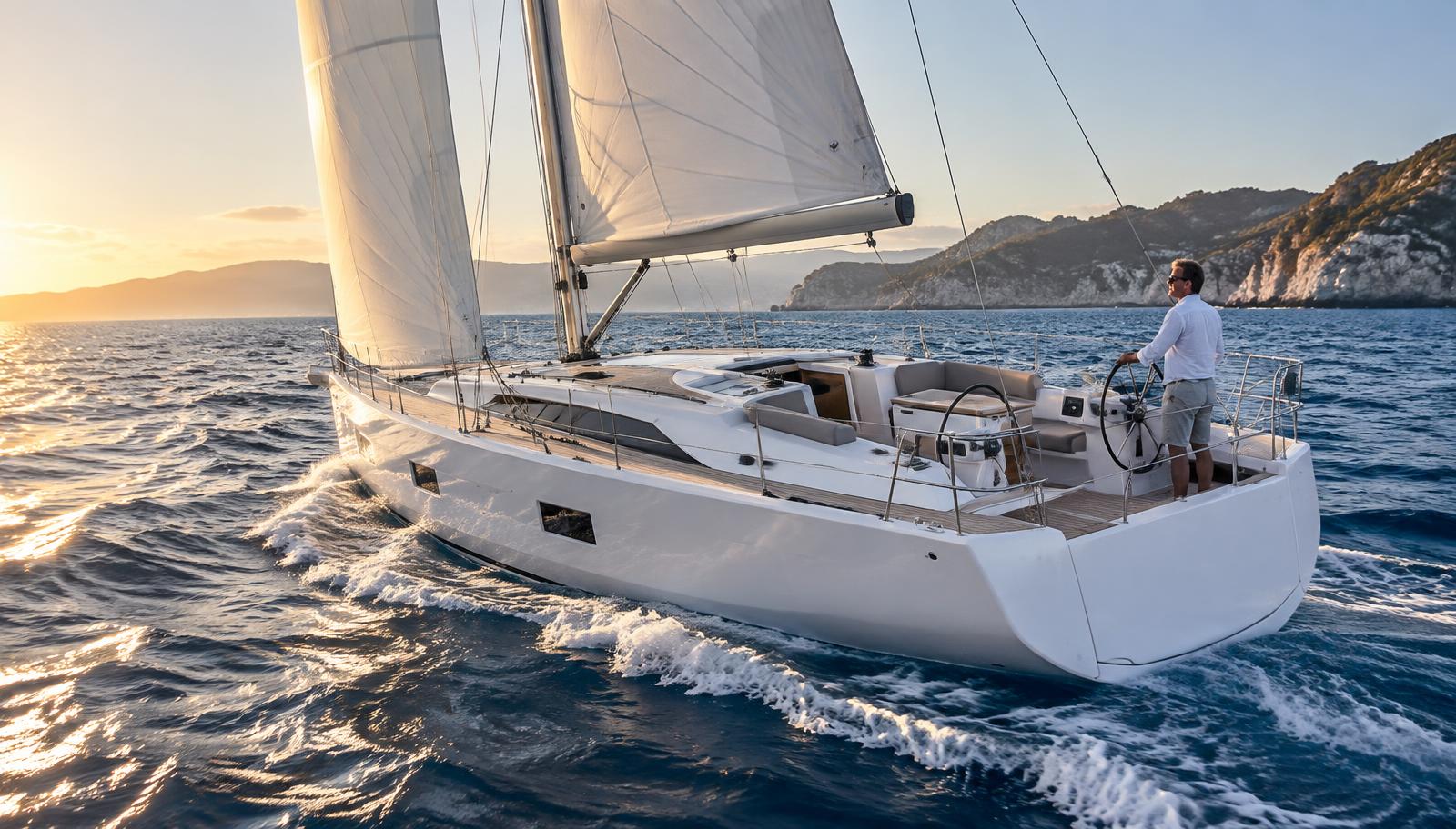
BUILT FOR REAL NAVIGATION
For sailors, recreational boaters, powerboats, sport fishing, coastal cruising and offshore planning.
MARIS is an aid for navigation. It does not replace up-to-date official charts, approved equipment, navigational notices or the skipper’s responsible judgment.
GROWING GLOBAL COVERAGE
Launching in United States waters, with continuous expansion through international hydrographic partnerships.
FAQ
One app. Your charts. Your weather. Your route.